Last year we failed to actually get to the OMM. Work was complete chaos, I hadn't booked the friday off, and when it got to midweek I just wasn't capable of planning, packing and getting there.
This time I was still stupidly busy, but I'd booked the friday off well in advance. Good job, since we were driving up to Scotland!
On the friday we got up late, had a leisurely breakfast, packed a few extra bits then set off. We were giving Mandy Goth a lift, since her team mate Jackie Scarf had driven up early to meet some friends on the way. It was about 5 hours to get to Glen Artney, and even with a coffee stop at Annandale we were there in plenty of time. We helped Mandy get her tent set up, then took my bag back to the marquee for registration and to go get some food.
The food options were pasta (no good for me), chilli including sweet potato (equally chancy) or vegan burger. So I had a couple of vegan burgers and a couple of beers. We sat around for a while chatting among ourselves and to a team of a young woman and a chap called Chris who was very familiar looking (another event maybe, or a Craggrunner race), then Karen and Rowena appeared briefly. Eventually around 9 we went back to the van for a couple of glasses of wine and some chocolate, and an early night.
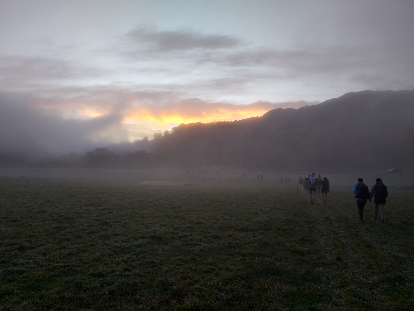
Our start time was 8-8.15, and after a walk across the fields through the mist we got to the start pretty much on time. We dibbed, picked up our maps and off we went.
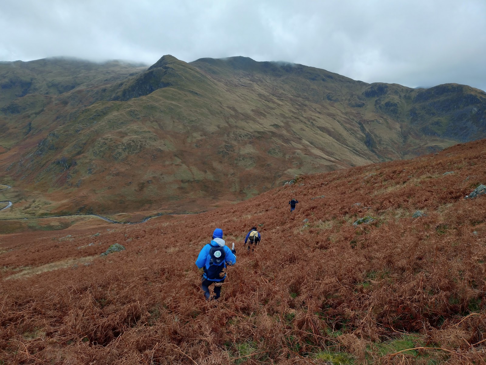
We looked at the map and worked out a tentative plan for the first few controls, then headed up the hill. I was boiling with my Paramo on and had to delayer quite quickly. It took a little while to get ourselves dialled in to the map scale and symbology, and the first control came up sooner than we expected.We carried on up the hill for the second control, which was in a re-entrant between two small summits and really easy to find because it was surrounded by people (this was a bit of a theme all day). Then on down the other side of the hill towards a third control by a river. This involved a lot of bracken bashing through rocky, rubbly slope.
From the next control we climbed up, and up, and up onto the unnamed summit to the south. The next control was in a reentrant on the west slope below the summit. We overshot slightly in the cloud. A brief clearing in the clag gave me chance to take a bearing from a plantation in the valley below and we worked backwards to locate the control.
At this point we had a bit of a rethink. We didn't have a definite plan, I suggested a loop that would involve quite a bit of additional climb. Claire's better at totalling up points than I am, and suggested a different loop that gained us an extra 20 points and reduced the climb but involved a longer downhill distance. I agreed, and off we went again.
The control was at the foot of a crag about 1.5km away. As we followed the ridge top, we could clearly see the crag below. People were passing by on their way to other controls not on our course. We stuck to the ridge almost to the crag, then there was a nice clear route down to it.
From there we contoured gradually up and round a short nose to get onto the ridge behind, and another control in a reentrant, before dropping down the nose to a control on the (southerly) crag. It was actually south west of the first crag we found and not very obvious - one of the more interesting controls of the weekend.
2 more controls involved a long slog across tussocks and deep grass, then we dropped down a steep embankment past a large metal stag (full of pock marks - a practice target for stalking) to the mid camp. Bizarrely there was a control out the other side of mid camp, so we nipped out to that then passed through the finish with 8 minutes in hand.
Day 1 we scored 220, which put us somewhere in the middle. Pretty good with the limitations we had on speed - we'd navigated mostly quickly and accurately and made good route choices.
We opted for a high up spot for mid camp. It was a bit windy, but dry underfoot. It did involve picking our way through a bog to reach the loos, but there was a way round by hopping over a fence. We pitched and got changed, then I went to fetch water. The queue for the water was absolutely huge - about 20 minutes - as the pressure was very low. Eventually I managed to fill up my 2l bladder and we made a cup of tea.
I slept really well, the best I ever have in the tent I think. Claire much less so, although apparently my snoring wasn't as bad as that from a neighbouring tent.
We woke at 6 as people started moving around, then the piper started. We got up fairly promptly and depitched efficiently enough that we were actually at the start on time, for a change. The queue for medium score was long though, and it took a while to get started. Oddly, we were queuing right behind a chap called Toby, who I keep bumping into (Fellsman 2ce, 5 Trigs).
This is when one of those things happened. Those things where you screw something up really badly, and keep doubling down on the mistake. Leaving the start, I favoured going for a fairly direct route back. Claire suggested an alternative that gave us some more scope, which I readily agreed to. Then as one, without checking our compasses, we headed off in completely the wrong direction. I was following what I thought was a road (yellow line on an OS map) without realising that the yellow line on the Harvey OMM map was "river, may be uncrossable after heavy rain".
We continued in this completely wrong direction for quite a while, confirmed in our idiocy by seeing other people on the route (probably a linear). We kept making the map fit the ground, and ignored some massive red flags that should have warned us.
Eventually we figured it out, after about 30 mins. So in the end we lost about an hour by the time we'd backtracked to near the start. There were still a lot of starters coming through, as we'd been on one of the earliest starts.
Whether we'd lost time or not, there was a fairly obvious route to follow - there wasn't a massive amount of scope for route variation on day 2. We dropped into a long line of people heading for the first control, in a re-entrant between two minor summits. Once we reached it, we found that the col was a mass of deep groughs.
Our tentative plan called for us to pass to the north of the next summit to get a control below a crag. It took a long time to fight our way through a km of big groughs, and by the time we reached the point where we should have been veering west I wasn't confident we had the time. Looking at the map, I thought we could go for a control on a reentrant to the south of the summit, but we were worried about time and ended up dropping down a reentrant early (as I thought) and accidentally landing straight on the control - not my finest navigational moment!
We dropped down the rest of the reentrant onto the river, then picked up another control. I'd favoured going straight over the next ridge to reach the finish, picking up a ten and a twenty on the way. Claire suggested a better route with less climb that got us another ten points, and I readily agreed.
We opted to take a high line to avoid bog in the valley bottom, and this put us in a long line of people again. We were sticking to the trods as much as possible, which eventually dropped us straight onto the control in a reentrant.
From here we were dropping sharply onto a control on a boulder, which involved a load of bracken bashing and hidden rocks. By this time Claire was struggling badly with the knee injury that has been bothering her lately, but we only had a couple of km to go with over half an hour in hand, straight along a clear trod (with many, many other people).
We got to the finish in good time, with 7.5 mins in hand. Once we'd dropped off our tracker we got a cup of tea and a veggie wrap. We didn't want to hang about too long, so we headed back to the van to get changed and warmed up, then headed homewards.
Kit list
- UD Fastpack 40
- Nordisk Halland tent
- Rab Neutrino 200 sleeping bag
- Alpkit inflatable mat
- MSR 750ml ti pan**
- Windshield
- MSR 300ml mug
- Platypus 2l water bladder
- Sawyer inline water filter
- Long ti spoon
- Hydrapak water bottle with Pure Clear water filter
- Suunto A30 compass
- chinagraph pencils
- First Aid Kit
- Leatherman micra
- contact lenses
- glasses
- OMM flash tights (worn day one)
- Raidlight winter tights (worn overnight and day 2 - bit too warm)
- Awdis long sleeved t shirt (worn day one)
- Berghaus short sleeved t shirt (worn briefly day one)
- Arcteryx warm long sleeved zip top (worn overnight and day 2. Bit warm)
- Paramo Velez Adventure light (worn most of the weekend)
- Montane Prism primaloft (worn at mid camp)
- 2 pairs Bridgedale running socks (one for each day)
- Buffs
- Columbia outdry extreme jacket (carried but not worn)
- Kalenji waterproof overtrousers (carried but not worn)
- Silva head torch
- Rab gloves
- Fleece biking hat
**Claire also had her Alpkit Ti pan. I brought the MSR because it's a bit bigger, which gives us enough water for both tent meals (or two full cups of tea) at the same time. It also fits the windshield better, for more efficient gas use. We thought we might use the 2nd pan for cupasoup but didn't, so we probably won't bother in future.
Food
- 2 * tent meals
- 2 * large malt loaves
- 6 cereal bars
- 250g of cheese
Lessons Learned
- Check the compass when starting from mid camp. Every time, no matter how confident we are.
- I carried one malt loaf too many.
- The foam wrapping I made at the last minute for the stove windshield was excessively bulky


No comments:
Post a Comment