One day in 2012 I was running in the woods above Silsden, where I lived at the time. Turning a corner I came across something that hadn't been there before - 2 large slabs of rock with a poem carved into them. An odd thing to find at the edge of a plantation near Keighley. I'm not a massive poetry buff, but I knew enough to recognise the style as likely Simon Armitage.
 |
| Where it all began for me |
So when I got home I did a quick search and turned up "The Stanza Stones" project - part of the Ilkley Literature Festival that year. The website informed me that there were six stones spread between Marsden and Ilkley. I immediately thought it'd be fun to link them together. My then partner had a bit of a downer on ultras due to me coming back from the previous year's Fellsman in a state, so nothing really came of it for a while.
Ten years later I was doing quite a lot of ultras and also involved in the local and wider ultra running scene. Our friend and regular RO Daz Graham announced with great enthusiasm the first "Stanza Stones Ultra".
Bugger.
Why 'bugger'? Because we always volunteer on Daz's races, that's why. Filling the volunteer roster for a 50 miler is hard. Filling the roster for a walker-friendly 50 with a 24 hour cut off is harder. Filling the roster for a 24 hour ultra at Craggrunner levels of entrant support is harder still.
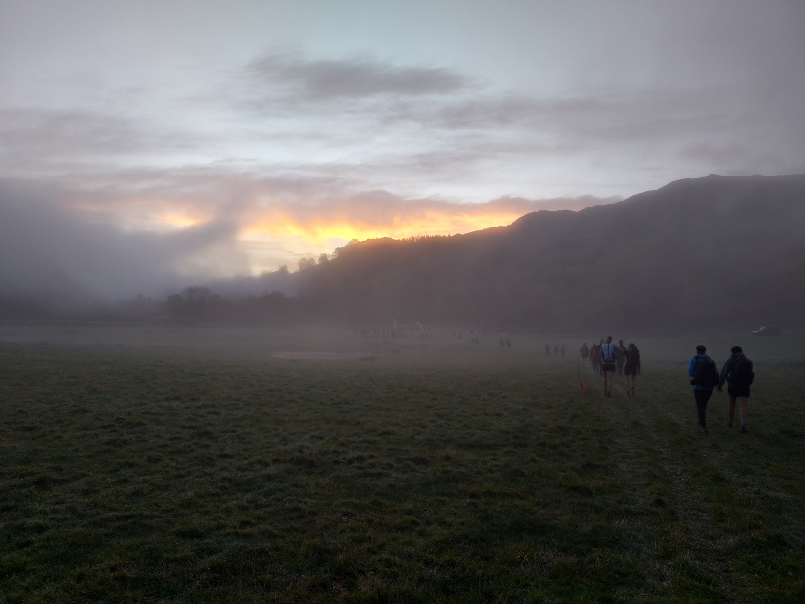
Another 3 years passed, and with the Winter Stanza Stones looming I decided to head out and run it. Claire and I often do Craggrunner event routes at another time, leaving us free to marshal. With a week off between jobs and a weather forecast that wasn't utterly evil I thought I'd grab the opportunity, so on Tuesday Claire dropped me at Marsden Cricket Club at 19.30 and off I went...
 |
| Climbing up the Road at Marsden |
The climb up Pule Hill is easy enough, although a shocking start if you're planning on going quick. I turned off the road quite early as it was a bit hairy going up the road on foot in the dark. Over Pule Hill and down to the Snow stone is a route I know well, as I've put in and taken down the flags for every race so far. Then on to the road crossing, where I'm usually seeing runners across.

Down the narrow track from the road, I reached a river. Now, it'd pissed it down for a couple of days, and there was quite a bit of water in the river. I'd been here before but couldn't remember how we'd crossed, and I have form for failing to see a bridge ten metres away and wading across instead (the SLMM a couple of years ago for example).
The river wasn't horrendous, but it was above my ankles and with the weir just to the right it wasn't 100% reassuring. I made a note to highlight this for the winter race, and on I went.
Two more stream crossings kept my feet wet all the way across the moor, although things dried up a bit after the first road crossing, just before White Hill. I ate a cheese pitta at 60 mins, then another after another 60 mins. A few cashews from a bag in my coat pocket now and then.
2 t shirts and my breathable waterproof were working well so far - it wasn't raining heavily and was fairly windy, but I was comfortable.

Crossing the A62 to the transport cafe, the whole area is like a landfill site. The amount of litter around there is obscene. I was glad to get down the hill to the footbridge over the M62.

Oh god the footbridge. This bridge terrifies me. The parapet is only just up to my waist, it's a railing, and the obsessive thoughts about jumping off (I have quite bad OCD) are terrifying. This was the worst crossing yet, in the dark at the beginning of a long run.

Once I got to the other side I fast marched with occasional trots up to Blackstone edge. Stopped for some malt loaf, and my stomach was starting to bother me a bit with lots of burping.
I crossed the road at the White House and got onto the long boring (but fast) stretch past the reservoirs where I pulled my average pace down to about 9.5 min/km. A quick hop over the catchwater to get the Rain stone, then jump across again (getting a wet foot) to carry on. I knew I'd be getting wet on Erringden Moor anyway.
At Mytholmroyd I ignored the turn into the Community Centre and turned right at the main road to visit my own personal CP - my kitchen. I'd put some cooked pizza in the fridge earlier in the day, and was looking forward to a coffee. It was just about midnight as I came into the village.

At home I decided to stay a max of 40 mins - enough to get tea and coffee to keep me awake, eat some food, change socks etc. I got moving again pretty much on the dot, with most of a pizza inside me and a 2nd coffee in a flask in my bag.
 |
| Top quality marshalling from this chap |
Climbing up past Hill House Farm is always hard work, but once on the top I trundled happily along to Fly Flatts res and the road near the Mist Stone (known by some locals as "Tommy Lee Royce Corner". Up to the Mist Stone and a quick sip of coffee and slice of malt loaf in the wind shelter, then on across Thornton Moor.

This is not the nicest bit of path locally - boggy, eroded and very wet. I missed the turning left and ended up on the track, which I followed down to rejoin the route. From here to Howarth was lots of little paths, field edges etc, before finally joining the church alleyway used by the Hobble at the finish.

Howarth was brightly lit but empty at 3 or 4am, and I only encountered one person as I passed down through the village to go out on the path that the Yorkshireman comes in on. I felt a bit sub par along this stretch and had to keep eating bits and pieces.

At Cullingworth I joined the woodland path near the huge junction, which was starting to see some early morning traffic, and dropped through the woods to reach Goitstock. I was still feeling a bit ill, and once I passed the road down to Harden I decided I'd stop for a micro-snooze.
About this point (just before 6am) my Petzl packed up. 10.5 hours or thereabouts on medium adaptive. I put my backup light on, found a tree to prop me up, set my phone for a ten minute timer and slept. I wasn't fully asleep, but it was refreshing enough to help a lot.
Down into Bingley and through Myrtle Park. I got as far as the main road and had a complete hypoglycemic meltdown. I'd been telling myself that half a pizza was plenty so it didn't matter that I felt too queasy to eat. That was stupid, and I know better.
I sat on a railing outside the fire station for a while wondering whether to bail at this point or carry on. Eventually I decided to try and get a cup of tea (and maybe even a pain-au-raisin, I fantasised) at the petrol station in Bingley.
The Bingley petrol station turned out to be just what I needed. Not only did they have tea, THEY HAD PAIN AU RAISIN! I bought a cup of tea and a couple of pastries and asked if it was OK to stand in a corner while I sorted myself out. The people there were lovely, kept an eye on me and supplied me with more tea. After about 30 mins of shaking and doubling up and generally looking alarming I was properly back on my feet and ready to rock and roll. I took my tea out into the increasing daylight and fast marched up the canal.
Halfway to the turning at Riddlesden my Garmin decided I'd finished. Apparently the GPX file I'd downloaded from the Craggrunner site had more points than my 20x could cope with. I switched over to navigating from my watch as I wasn't sure of this section. Just before the bridge I reloaded the GPX file on my handheld and it decided to show me the rest of the route, which was welcome. I de-layerd a bit before climbing up the hill, then again halfway up as my legs were now boiling in full length lycra plus waterproofs.
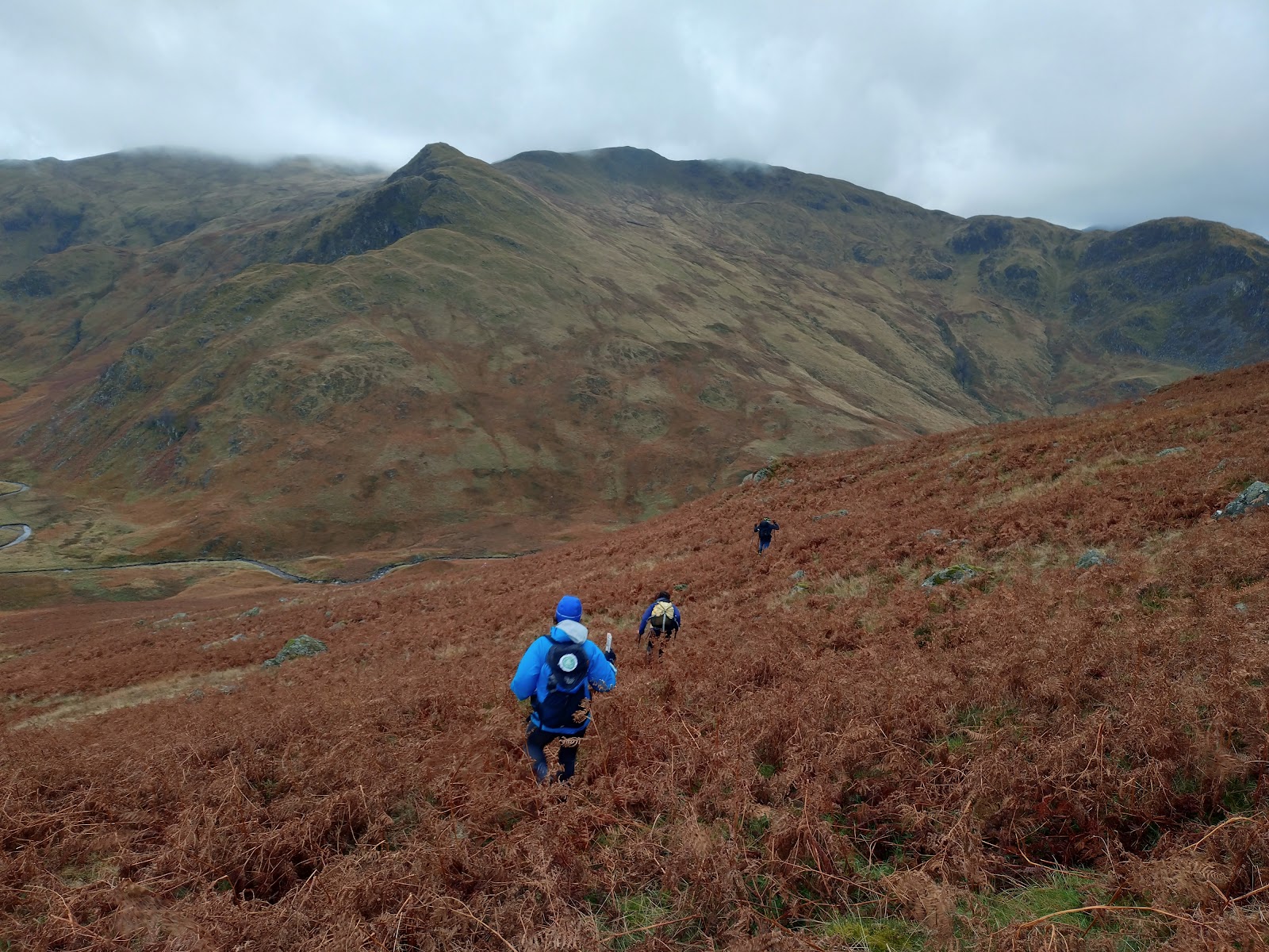
Up the road, then across the fields to Rivock Woods and the Dew Stones, where this story began for me. Rivock looks very different now than it did then, as the bulk of the plantation has been harvested in the last few years. I felt pretty good - achey and tired but functioning OK.

I cut across by the Doubler Stones, old friends of mine where an old compulsion kicked in and I made sure to touch both stones, then up to the path junction on Black Hill. By this time I was starting to see a lot of dog walkers around. Another long familiar path down to the Swastika Stone, then a hard march up Keighley Road to Whetstone Gate. It took me a little while to find the Puddle Stones, even though I know them well. I was just badly disoriented and tired. Then on past the trig to the 12 Apostles stone circle where I made sure to run round the circle, but refrained from aeroplane impressions as there were a couple of people being sensible and archaeological.

Waddling slightly by now, I took the path down towards the finish. Daz and I had originally recced a slightly different route to this, and in trying to find the (usually flagged for the race) route I ended up on trods through the bracken. I went back across the bridge and up the stream to the Beck Stone, then headed down to Ben Rhydding to touch the gate at the school and call it finished, then stumble down to Ben Rhydding station to get the train home.

I took about 15:40 overall. As usual food was my biggest problem, although I can't help thinking if I'd had my usual cheese scones I'd have had an easier time of it. Sleep deprivation was also a bit troublesome, but a ten minute snooze in a wood was surprisingly helpful. It's nice to have finally got it done.
Kit
- Awdis T shirts
- OMM full length leggings
- Kalenji waterproof trousers
- Montane Element waterproof
- Bridgedale merino/synthetic socks
- Inov8 Mudtalons
- UD Fastpack 20
- 2 * 500ml water bottles (plus 500ml water bought at Bingley)
- Lamfold OL21 to Mytholmroyd, then 297 to Ilkley
- Suunto A30 compass
- Garmin eTrex 20x handheld GPS
- tracker
- Buffalo mittens
- Black Diamond gaiters
- Petzl Nao torch and Zebralight H600 backup
- Montane Prism jacket
- Montane Ember insulated windproof (left at Mytholmroyd)
- 500ml Ti water bottle (left at Mytholmroyd)
- Waterproof socks (carried)
Food
- Spinach and ricotta pizza
- cheddar cheese pittas (3 half pittas)=
- cashews
- salted peanuts
- half a malt loaf
- pain au chocolat
- pain au raisin
- a few jaffa cakes
Lessons
- Stop trying to avoid carrying peanut butter, it's the only food that consistently works
- A lightweight cap would have been a godsend after dawn when the sun was shining in my eyes
- Soloing overnight takes longer than the same distance in a race. Obviously -
plan for a slower pace. - Mytholmroyd is about 1/3 of the way through
- Check GPX files fit on the Garmin without truncating, although weirdly when I reloaded the file on the route it showed the remaining section - feature?